

Western disturbance to bring rain, snow to Himachal from October 13 to 15: IMD
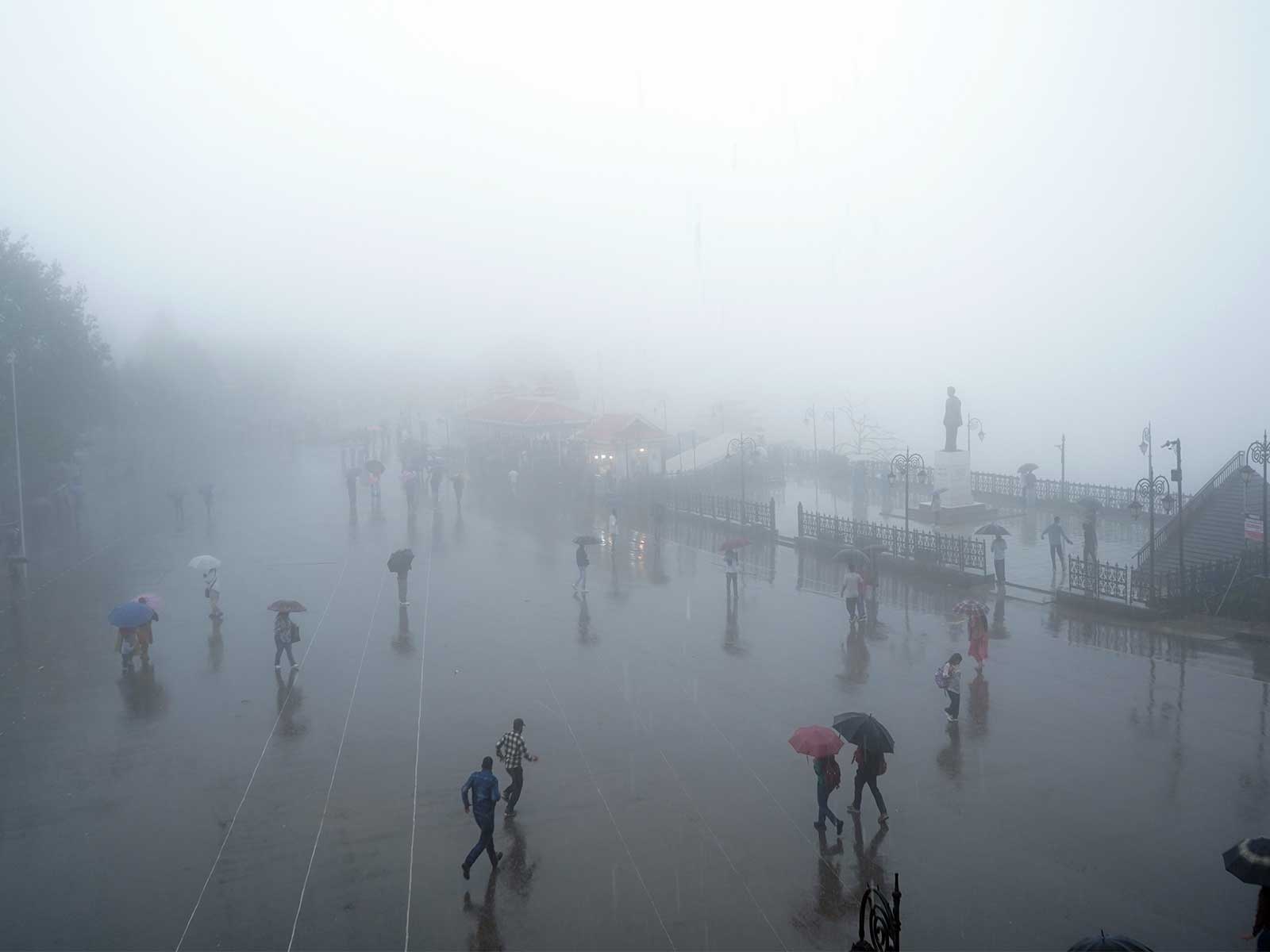
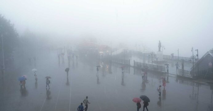
Shimla (Himachal Pradesh) [India], October 12 (ANI): The north Indian hill state Himachal Pradesh is likely to witness another spell of rain and snowfall from the evening of October 13 to October 15 under the influence of a western disturbance, with thunderstorms and lightning expected in parts of the state, India Meteorological Department (IMD) Senior Scientist Sandeep Kumar Sharma said on Sunday.
Speaking with ANI, Sharma said a western disturbance had affected the state over the past 24 hours, bringing light to moderate rainfall across Himachal Pradesh and snowfall in the higher reaches and mountain passes of Chamba, Kangra, Lahaul-Spiti and Kullu districts.
Sundernagar recorded the highest rainfall at 40 mm, while moderate rainfall was reported in Kangra, Bilaspur and Una, he said.
“On October 12, the weather is expected to remain largely clear across the state. However, light rain may occur at one or two places in Kangra, Mandi and adjoining areas during the late evening or night,” Sharma said.
He added that the next spell of weather activity was likely to intensify from the late evening of October 13 under the influence of another western disturbance and continue until October 15.
“Thunderstorms and lightning, accompanied by light to moderate rainfall, are likely at a few places, particularly in the mid-hill districts. On October 15, the plains and adjoining areas of Una, Bilaspur, Hamirpur, Sirmaur and Solan may also receive light to moderate rainfall,” he said.
Snowfall is also likely in the higher reaches of Chamba, Kangra, Lahaul-Spiti and Kullu districts during this period, Sharma added.
Weather activity is expected to decrease considerably on October 16, with light rain likely to be confined mainly to Kangra, Mandi and adjoining areas. Dry weather is likely to return across the state from October 17 onwards, he said.
The recent spell of rain has led to a significant fall in daytime temperatures across Himachal Pradesh, with maximum temperatures recorded between 6 and 10 degrees Celsius below normal at several places, Sharma said.
Shimla recorded a maximum temperature of 16.4 degrees Celsius, around six degrees below normal, while Kullu, Kangra, Chamba and Palampur reported maximum temperatures ranging between 18 and 19 degrees Celsius.
Chamba recorded a particularly sharp departure from normal, with its daytime temperature at around 18 degrees Celsius, approximately 14 degrees below normal, he said.
With the weather clearing since Sunday morning, daytime temperatures are expected to rise. However, temperatures may fall again by an average of four to six degrees Celsius across the state between October 13 and 15 as the next western disturbance becomes active, Sharma added.
Explaining the change in weather conditions, Sharma said October, November and December constitute the post-monsoon season, during which rainfall in Himachal Pradesh is primarily associated with western disturbances.
“When a western disturbance is active or particularly intense, as witnessed over the past 24 hours, widespread cloud cover and rainfall can cause temperatures to fall sharply, making people feel considerably colder,” he said.
He added that the state was gradually approaching winter, but the current period should not be considered the peak winter season.
“Normally, snowfall in districts such as Shimla, Lahaul-Spiti, Kinnaur, Kullu and parts of Chamba begins around the second week of December. However, October, November and December are classified as the post-monsoon season, and it is not yet winter in the strict meteorological sense,” Sharma said. (ANI)
